20" x 16"
2026


Convoy Sailing from Plymouth
Sir Muirhead Bone (23 March 1876 – 21 October 1953) was a Scottish etcher and watercolourist who became known for his depiction of industrial and architectural subjects and his work as a war artist in both the First and Second World Wars.

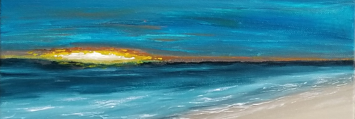
Surfers' End
Acrylics, blown sand, grass seeds and organic matter on canvas board
12" x 16"
2025

Acrylics, blown sand, grass seeds and organic matter on canvas board
11" x 14"
2025
Called the "Africa Rock" because the same geological piece of rock has been found in Africa - split from this piece by tectonic plate movement.
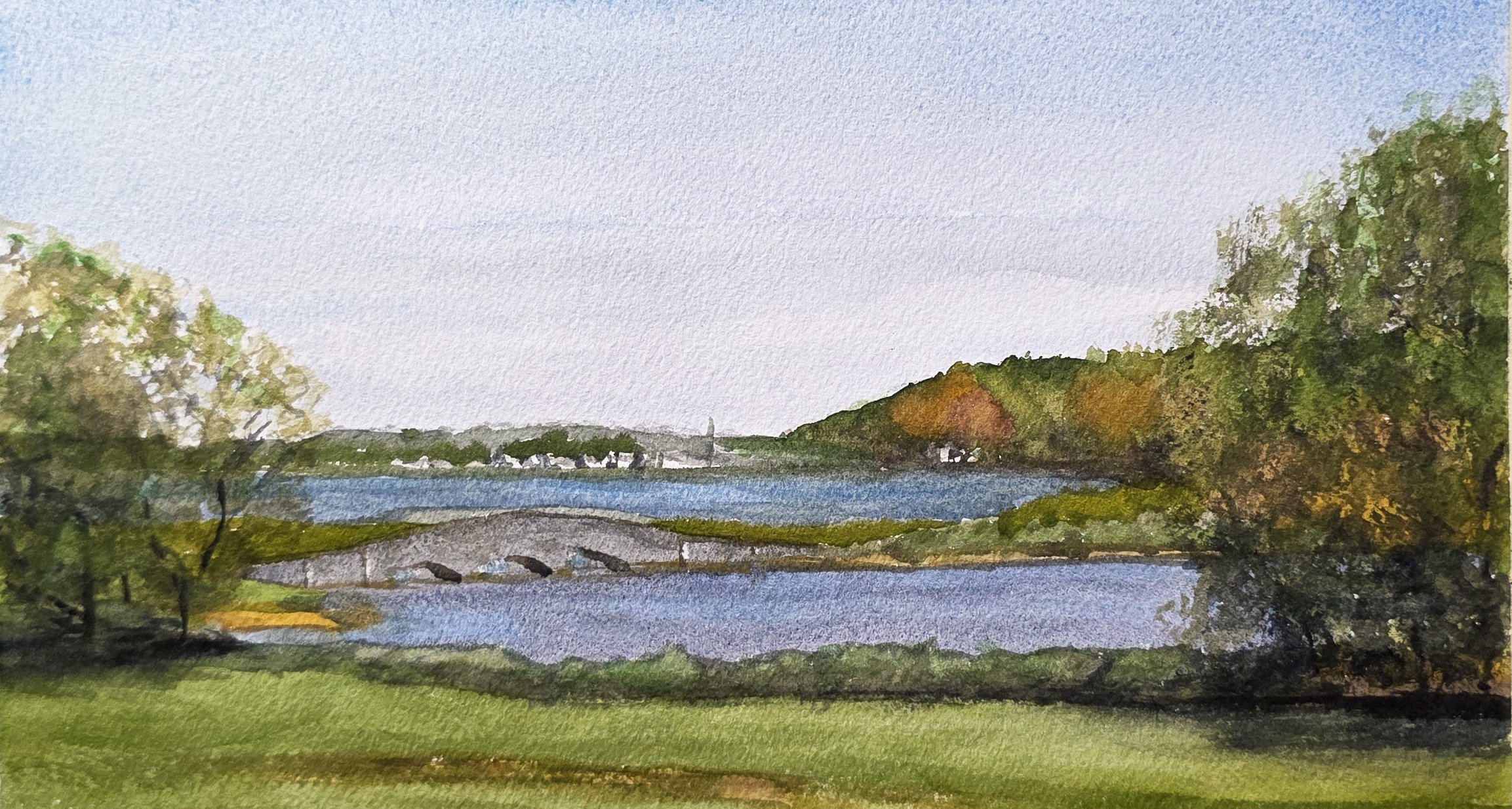
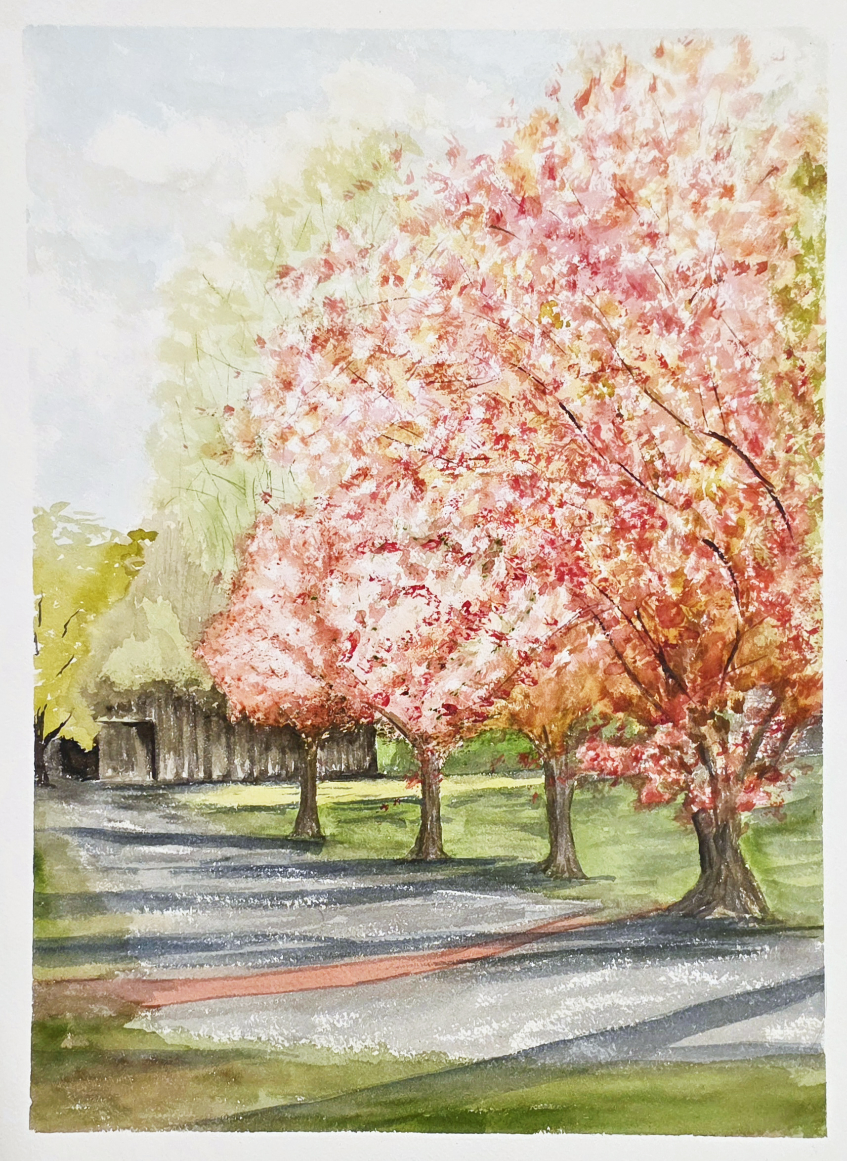
Colt State Park
6" x 12"
2025
Painted during a session with Urban Sketchers of RI
Copyright © 2024 · All rights reserved